Grotte du Guiers Mort
Northing: 45.32611° Easting: 5.85757° Altitude: 1,334 m
How to find it
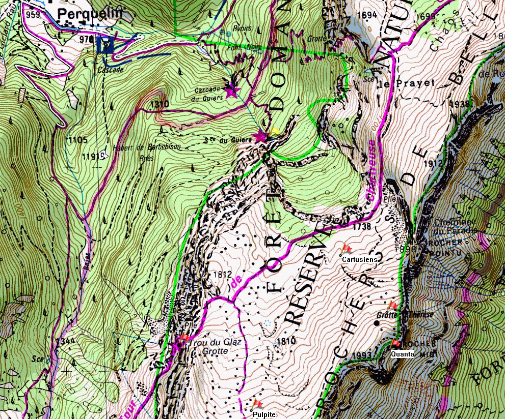
The cave is approached from Perquelin, some 3 km ESE of St. Pierre de Chartreuse, where cars can be parked a hundred metres beyond the tarmac. From there, the cave is sign-posted. It takes about 45 minutes.
To return to the Col du Coq after a through trip, follow the path that ascends under the cliff to the south-west. This is mostly straightforward, but after about 45 minutes there is an apparent impasse. Here, look for an easy scramble of four or five metres up the cliff to gain access to a new traverse level which isn't immediately obvious. The Trou du Glaz is reached after a few minutes.


Further information
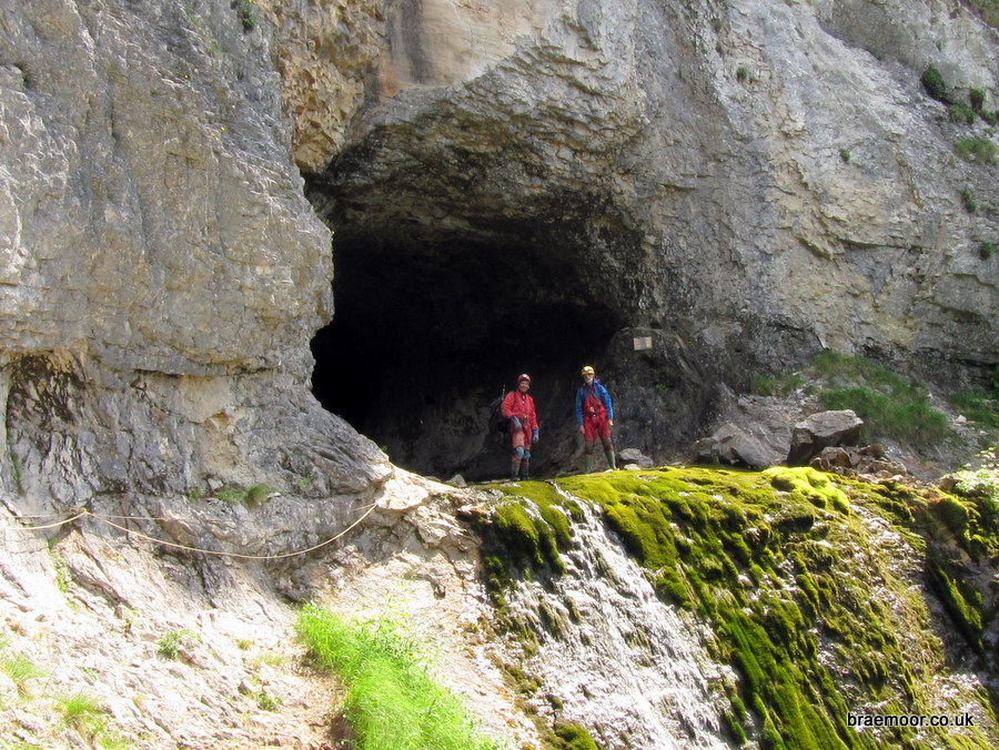
Grotte du Guiers Mort is the resurgence for the Réseau de la Dent de Crolles, and its lowest entrance. It provides access to both the fossil and the active systems, and is the egress for the equipped through-trips from P40, Gouffre Thérèse, and Trou du Glaz. Gouffre des Quanta, Puits des Cartusiens, and a route from Gouffre de la Pulpite Irréversible also enter the system. The first couple of hundred of metres must have been known for a long time, but in 1939 Chevalier climbed into the roof of the final chamber to find passages that eventually dropped into the Grand Collecteur. This was linked with the Trou du Glaz four years later. The extensive fossil series was first entered by members of the Spéléo Club de Lyon in 1961.
Grotte du Guiers Mort also has a couple of round trips equipped with pull-through chains, pitch-head traverse lines, fixed ropes, and waymarkings, which have been well described in route guides produced by Spéléo Secours Isère, the local rescue organisation. These are:
Guiers Mort round trip, via the Boulevard des Tritons and the Escalier Bis
This is an excellent round trip that provides a good opportunity to become familiar with much of the routes followed by both the traditional and the P36 traverses from Trou du Glaz. It follows the upper fossil passages all the way to the base of the Cascade Rocheuse, and returns along the main streamway, dropping into it at more-or-less the same place as the traditional route. It is not a trivial undertaking (– it involves 4 km of caving which takes a good six hours, and includes the ascent of four fixed ropes, and the descent of six pitches, some using fixed ropes and some using pull-though ropes (2*20 m). The route is fully described in a Spéléo Secours Isère guide, which has been loosely translated by the author, and is available here. Use it at your own risk...

Guiers Mort round trip, via the Galerie du Solitaire and the Escalier Bis
This is similar to the above, but follows an alternative route round the fossil series. It is fully described in a Spéléo Secours Isère guide, which has been loosely translated by the author, and is available here. Use it at your own risk...

