Sources of Information
There is a lot of literature on the Réseau de la Dent de Crolles, and innumerable trip reports on the web. However, much of the available literature has been superseded, and most of the trip reports are now misleading. Below are listed the most useful resources. Note that, to save server storage and bandwidth, the external files are stored on Google Drive. Some of them are quite large, and you may wish to display them in a separate tab by right-clicking on the link. Because they are large PDF files, you may get a message along the lines "Google Drive can't scan this file for viruses". Don't worry - they are safe to download.
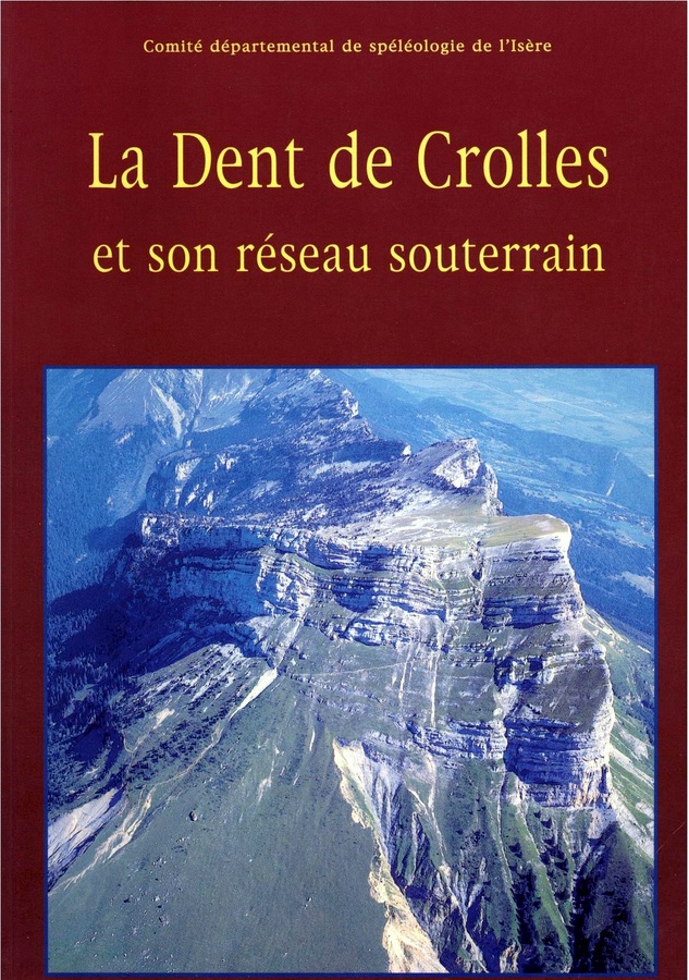

'La Dent de Crolles et son Réseau Souterrain' edited by Baudouin Lismonde
Published in 1997 by the Comité Départemental de Spéléologie de l’Isère, this is the nearest to being a definitive reference work on the system. It is over 300 pages and includes chapters on, amongst other topics, the area, the geology, and the history of exploration. It also includes a survey in eight sections, and descriptions of a number of caving routes in the system, and is a must-have for anyone wanting to visit the system. The paper version is available to buy for 34€, but CDS de l’Isère have also generously made a PDF copy available on the web. I have added a PDF meta tag table of contents to this to make it easier to navigate, and that version is available for downloading here (22 MB). Major explorations that have been made since the book was published include eleven new entrances: Puits des Cartusiens, Gouffre Bob Vouay, Gouffre des Quanta, Gouffre de la Pulpite Irréversible, Maxi Méga Marmotte, le Nid de Choucas, la Grotte des Excités, l'Entrée des Artistes, le Balcon, Gouffre du Coeur, and Grotte Bis du Guiers Mort. Full published details of these entrances are available on bone fide request.
System Surveys
Apart from the survey separated into page-sized sections available in La Dent de Crolles et Son Réseau Souterrain discussed above, the best survey available on the web is a synthesis available for downloading here (1.7 MB). There is a deep zoom-style web version available here. It does not include the nine more recent entrances of Gouffre Pulpite, Gouffre Bob Vouay, Maxi Méga Marmotte, le Nid de Choucas, la Grotte des Excités, l'Entrée des Artistes, le Balcon, Gouffre du Coeur, and Grotte Bis du Guiers Mort, but an indication of where the first seven fit in can be gleaned from a small scale survey available here (0.56 MB). One can gain an impression of the system's vertical complexity from this cross-section also available in a deep zoom-style web version here. All these surveys have been compiled, drawn, and generously made available by Gilbert Bohec
An updated version of the northern half of the survey that includes the connection with Puits des Cartusiens, was distributed with Spéléo Magazine 60 (2007), and an updated version of the southern half of the survey, including Gouffre Bob Vouay, was distributed with Spéléo Magazine 70 (2010). A survey of the entrance area of Grotte Chevalier showing the connection with Méga Maxi Marmotte was published in Spéléo Magazine 111 (2020), and a survey of the network above Galerie Invisible in the same cave appeared in Spéléo Magazine 121 (2023), both available on bona fide request.
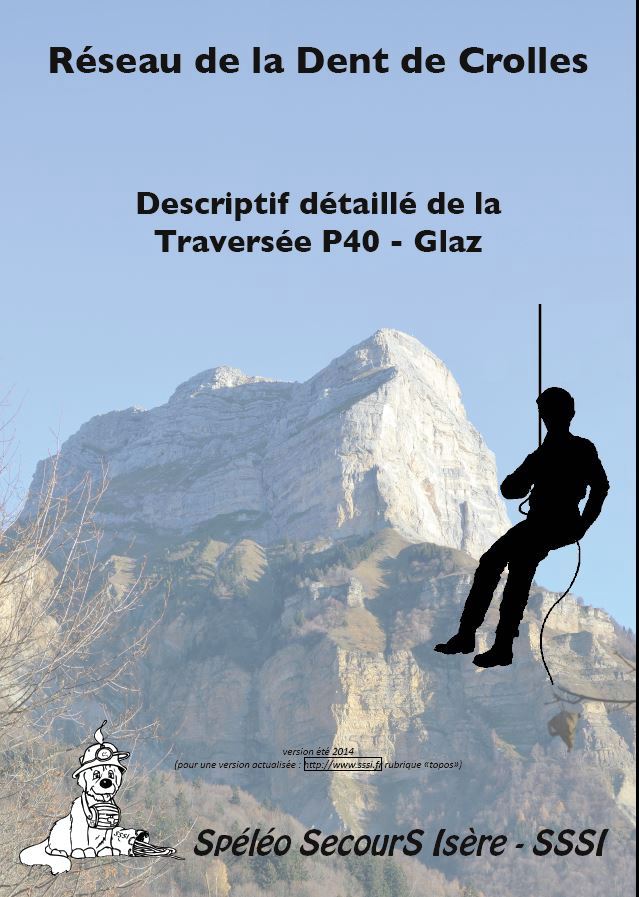
Spéléo Secours Isère Route Guides
Following a minor spate of rescues, the Spéléo Secours Isère produced a series of route guides in 2014-2015 for the more popular routes in the system. These were augmented in 2023 by two traverses starting from Gouffre Bob Vouay. Although there are many other guides on the web which have subtle variations, these document the routes that have been equipped and should be regarded as definitive. Note that there may be a small discrepancy in the locations given in these guides to those used elsewhere on this website. This is because the position of the entrances were resurveyed to a high degree of accuracy in 2022, after the guides were published.
- Gouffre Bob Vouay - Grotte Chevalier traverse (23.1 MB)
- Gouffre Bob Vouay - Trou du Glaz traverse (23.7 MB)
- P40 - Trou du Glaz traverse (6.1 MB)
- Gouffre Thérèse - Grotte du Guiers Mort traverse (3.3 MB)
- Trou du Glaz - A round trip between Puits de la Lanterne and Puits de l'Ogive (6.0 MB)
- Trou du Glaz - Grotte Annette Bouchacourt traverse via Puits de la Lanterne (6.6 MB)
- Trou du Glaz - Grotte Annette Bouchacourt traverse via Puits de l'Ogive (6.7 MB)
- Trou du Glaz - Grotte Chevalier traverse via Puits de la Lanterne (6.7 MB)
- Trou du Glaz - Grotte Chevalier traverse via Puits de l'Ogive (6.8 MB)
- Trou du Glaz - Grotte du Guiers Mort traverse via Puits de la Lanterne and P36 (7.0 MB)
- Trou du Glaz - Grotte du Guiers Mort traverse via Puits de l'Ogive and P36 (7.1 MB)
- Grotte du Guiers Mort - a round trip between Galerie du Solitaire and Escalier de Service Bis (4.1 MB)
- Grotte du Guiers Mort - a round trip between Boulevard des Tritons and Escalier de Service Bis (4.1 MB)
The above links are to the Spéléo Secours Isère website to ensure that the latest versions are referenced.
They have been loosely translated into English by the author. Use at your own risk... Note that he has no experience of the first four routes, but he can confirm that the others seem to work.
- Gouffre Bob Vouay - Grotte Chevalier traverse (1.3 MB)
- Gouffre Bob Vouay - Trou du Glaz traverse (1.5 MB)
- P40 - Trou du Glaz traverse (0.7 MB)
- Gouffre Thérèse - Grotte du Guiers Mort traverse (0.6 MB)
- Trou du Glaz - A round trip between Puits de la Lanterne and Puits de l'Ogive (0.6 MB)
- Trou du Glaz - Grotte Annette Bouchacourt traverse via Puits de la Lanterne (1 MB)
- Trou du Glaz - Grotte Annette Bouchacourt traverse via Puits de l'Ogive (1 MB)
- Trou du Glaz - Grotte Chevalier traverse via Puits de la Lanterne (1.4 MB)
- Trou du Glaz - Grotte Chevalier traverse via Puits de l'Ogive (1.4 MB)
- Trou du Glaz - Grotte du Guiers Mort traverse via Puits de la Lanterne and P36 (2 MB)
- Trou du Glaz - Grotte du Guiers Mort traverse via Puits de l'Ogive and P36 (2 MB)
- Grotte du Guiers Mort - a round trip between Galerie du Solitaire and Escalier de Service Bis (2 MB)
- Grotte du Guiers Mort - a round trip between Boulevard des Tritons and Escalier de Service Bis (2 MB)
There is a similar, but privately published, route guide for the equipped Pulpite to Trou Glaz traverse. See the the Pulpite page for more details.
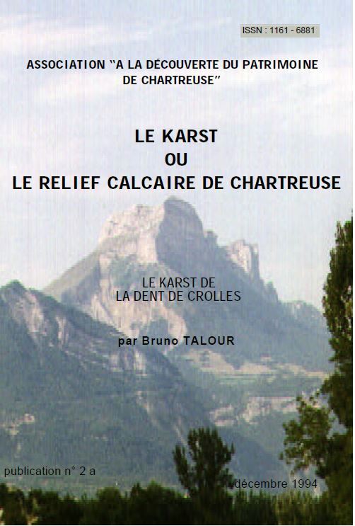
'Le Karst de la Dent de Crolles' by Bruno Talour
This splendid 26-page booklet is in essence a guided walk around Dent de Crolles visiting a dozen points of karst interest en route. It starts in Perquelin, and goes past the Fontaine Noire up the Sentier du Colonel to the plateau. It then visits Gouffre Thérèse, the summit, P40, and descends via the Trou du Glaz and Grotte du Guiers Mort. The route passes close to the more recent entrances of Gouffre Bob Vouay and Gouffre Pulpite which can also be easily visited. The booklet provides a splendid introduction to the geography and geology of the area, and is available for downloading here (3.8 MB).
'Subterranean Climbers' by Pierre Chevalier
First published in 1948 as 'Escalades Souterraines', and re-published in an English translation in 1951, this is a strong candidate for being the best ever caving book. It describes the explorations in the Réseau de la Dent de Crolles undertaken between 1935 and 1947 by Chevalier and his team (which included Fernand Petzl) which resulted in the linking together of Grotte du Guiers Mort, Trou du Glaz, P40, and Grotte Annette Bouchacourt, as well as the establishment of a world depth record which stood from 1944 to 1953. Many of the explorations were undertaken during the war under incredibly difficult conditions, and pioneered the use of single rope and maypoling techniques in caves. Although Chevalier completed his explorations when only 17 km of passages were known compared with the 60 km known today, the book is an inspiration, and when one spots the signatures of some of those great cavers at their break-through points, one experiences a frisson of history. Some of the team were later involved in the Gouffre Berger explorations.
It's a cracking read, and a 'must' for anyone planning to visit the system.
The IGN Map
French mapping compares favourably with the best. The French equivalent of the Ordnance Survey, the Institute Géographique National, have the whole country covered in a number of different scales, including the orange 1:50,000 series, and the blue 1:25,000 series. The latter are also supplied in tourist editions for the major walking areas. The accuracy of the maps is reliable, and the presentation is excellent, with the subtle shadowing on the blue series being particularly useful, although the colours are a little more vivid than those used by the Ordnance Survey.
The Chartreuse area is covered by two special 1:25,000 IGN maps, 3333 OT, and 3334 OT, covering the north and south of the Chartreuse Massif respectively, with the Dent de Crolles being covered by the latter. They highlight the major footpaths, and are highly recommended. They are not expensive (about &#euro;14 in June 2021), and may be obtained locally, or online.
A smart phone service is available from the IGN for €17 per annum (May 2023) which allows access to maps on the move. I have the 1:25,000 TOP maps on my smart phone, although from a discontinued source, and although I don't rely on it, it is useful for confirming location on the forest paths.
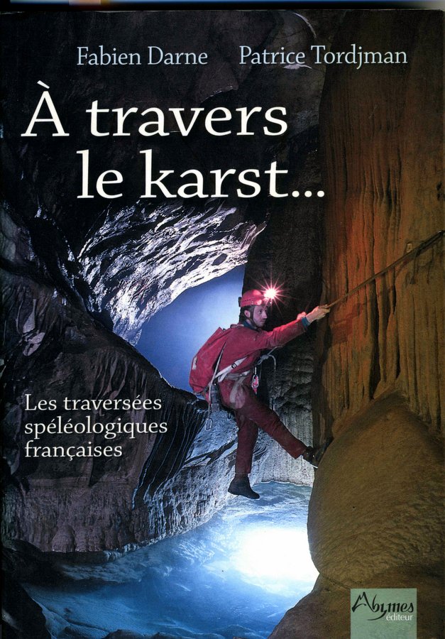
'À Travers le Karst' by Fabien Darne and Patrice Tordjman
This book describes many of the best through-trips in France, and a copy should be in every caver's library. Although the description for the Réseau de la Dent de Crolles routes have been largely superseded by the Spéléo Secours Isère route guides, it also contains descriptions of other fine routes in the area including the Grotte des Masques to Grotte du Mort Ru traverse (252 m deep), and the Gouffre Tasurinchi to Grotte du Guiers Vif traverse (305 m deep), both associated with the Cirque de St. Même near St. Pierre d'Entremont, and Trou Pinambour on Grand Som.
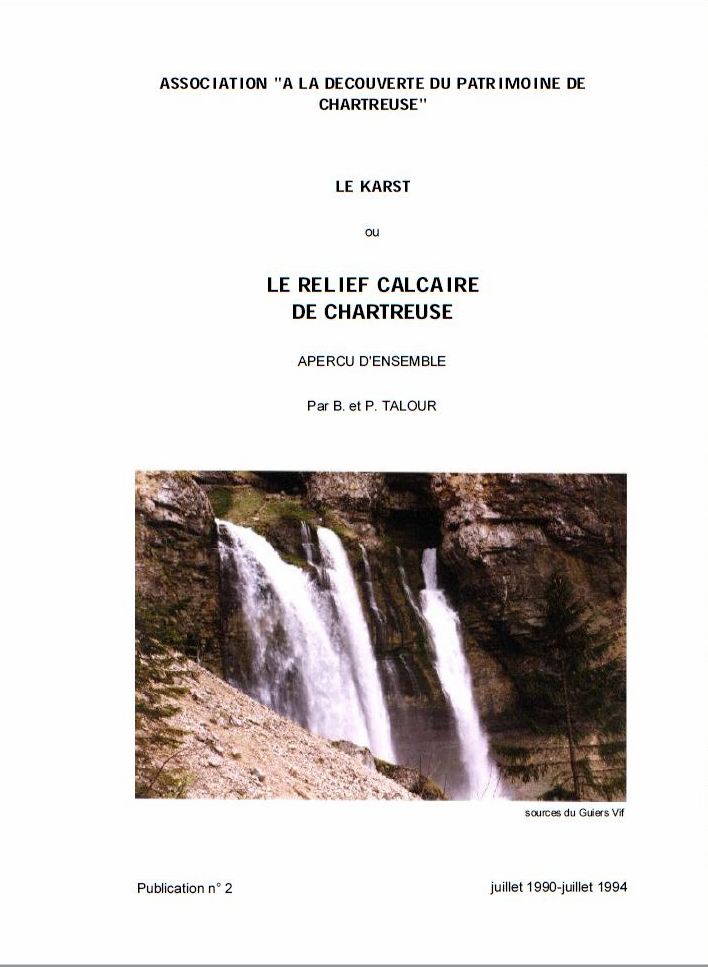
'Le Karst de Chartreuse' by B. and P. Talour
This booklet does what it says on the tin – it describes the karst of Chartreuse. It is of less direct relevance to caving in the Dent de Crolles system than 'Le Karst de la Dent de Crolles', but it is interesting in its own right. It is especially worth looking at for an informative stratigraphic column of the area, and for a cross-section of the 680 m-deep Puits Francis on Grand Som illustrating the importance of geological structures on cave development in the area. You may download it here (2.6 MB).
'Le massif de la Chartreuse, Alpes françaises du Nord' by Baudouin Lismonde & Jean-Jacques Delannoy
This is a slightly more technical paper, published in Karstologia in 1990, which provides a comprehensive review of the major karst areas of Chartreuse, and in particular identifies the major karst basins. It is available for downloading here (9.9 MB).
'A Walking Guide to Chartreuse' by John Gardner
The author has maintained a website since 1998 dedicated to walking in Chartreuse. In addition to describing some 50 walking routes, nine of which are on Dent de Crolles itself, it also contains much general information on the area gleaned over a period of 55 years which visitors may find useful. A PDF version (2 MB) of the website is available.