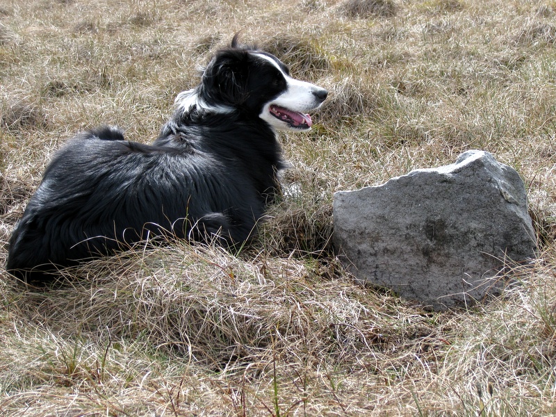
(Click photograph for a larger image)
Location: 40 m due west of the where the water course from Blea Gill crosses the Blea Beck tributary.
Latitude: 54.095951 Longitude: -1.943375
NGR: SE 03801 66676
Inscription: none
This insignificant 25 cm-high stone is the south-west stone marked on the map on page 100 in British Mining 46 (see references). Meer Stone 14 marks the south-east corner.