(Click photograph for a larger image)
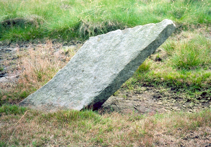
Location: 170 metres due east of the dam on Bleak Beck, south of Cottingham Shaft.
Latitude: 54.097091 Longitude: -1.941355
NGR: SE 03933 66803
Inscription: none
This uninscribed leaning stone is marked on the map on page 100 in British Mining 46 (see references). See Meer stone 61 for the stone marking the south-west corner.