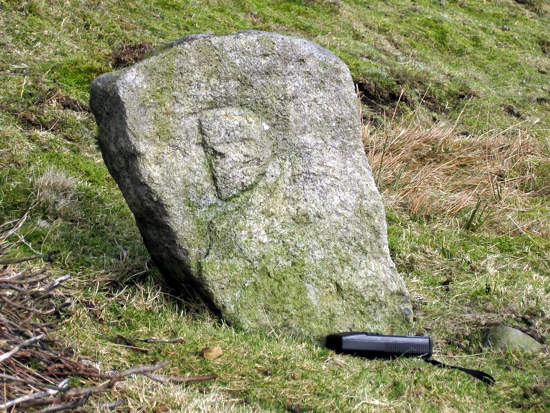
(Click photograph for a larger image)
Location: On the south bank of the Duke's Watercourse.
Latitude: 54.097875 Longitude: -1.970009
NGR: SE 02059 66889
Inscription: D
A half metre high stone with the letter D clearly inscribed. It may be associated with Lord Nelson's Level which was driven by the Duke of Devonshire in the first decade of the nineteenth century.