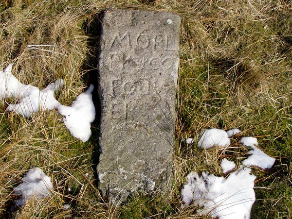
(Click photograph for a larger image)
Location: Some 80 metres from the Turf Pit track junction, at a bearing of 285°.
Latitude: 54.103255 Longitude: -1.960019
NGR: SE 02712 67488
Inscription: J: MORLEY & CO FOUNER
A 1 m long post lying on its back, alongside Meer Stone 28. A founder stone, it is known that Josia Morley and Co. of Giggleswick held 10 meers on the Turf Pit vein in 1780 when they were involved in a dispute after driving a drift outside their area, but their holding is marked on the 1781 Brailsford survey as being 250 m to the east. Another Morley stone can be found on the same vein, and the two stones appear to mark the north-west and south-east corners of land marked as being leased to Swale and Company on the Brailsford 1781 map. A photograph of this stone also be found in Arthur Raistrick's